Walks around Thungutti Campsite
Distance: 9.65 km ( 6.00 miles ) Duration: 3 hours and 20 mins. Last Updated: 17 Nov 2024A marvellous walk added by Kirstin Langham it's in Dorrigo, New South Wales, Australia.
FREE to Download
Quite long and definitely steep in places, but this is a fabulous walk with outstanding views. This walk incorporates the Point Lookout, Tea Tree walk and Lyrebird walk.
Add your own opinion!
Where in the world is this Tour?
Tour Highlights

Tea Tree Falls Walk
Let’s start with the Tea Tree falls walk. A pleasant gently up hill walk through the bush.
Let’s start with the Tea Tree falls walk. A pleasant gently up hill walk through the bush.

Tea Tree Falls
Surprise surprise on the Tea Tree falls walk you get to see the Tea Tree falls.
Surprise surprise on the Tea Tree falls walk you get to see the Tea Tree falls.
Distance from previous hotspot: 1.05 km ( 0.65 miles )

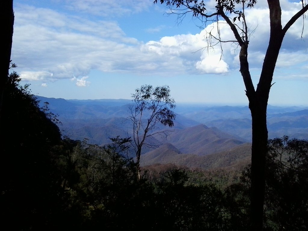
View of the National Park
This is a typical view of the New England National Park.
This is a typical view of the New England National Park.
Distance from previous hotspot: 1.50 km ( 0.93 miles )

Down into the Valley
There are hand rails in some places, which makes it just that little bit easier.
There are hand rails in some places, which makes it just that little bit easier.
Distance from previous hotspot: 0.20 km ( 0.13 miles )

Weeping Rock
This sheer wall of rock is simply oozing lacrimational fluids.
This sheer wall of rock is simply oozing lacrimational fluids.
Distance from previous hotspot: 0.16 km ( 0.10 miles )

More fabulous views!
Rolling bush as far as the eye can see.
Rolling bush as far as the eye can see.
Distance from previous hotspot: 1.02 km ( 0.64 miles )

View from the Point Lookout.
This is the lookout point at Point Lookout.
This is the lookout point at Point Lookout.
Distance from previous hotspot: 0.10 km ( 0.06 miles )

Platypus Valley Lookout
Of course you are not going to see any Platypussies from up here, but it is a nice view of the valley.
Of course you are not going to see any Platypussies from up here, but it is a nice view of the valley.
Distance from previous hotspot: 0.60 km ( 0.37 miles )

It’s a long way to the bottom
... if you have to drop and roll.
... if you have to drop and roll.
Distance from previous hotspot: 0.18 km ( 0.11 miles )

Ferns along the Lyrebird Walk
Moist and cool, just how I like my beer.
Moist and cool, just how I like my beer.
Distance from previous hotspot: 1.75 km ( 1.09 miles )

NPWS give good signage.
The tracks are well documented.
The tracks are well documented.
Distance from previous hotspot: 2.69 km ( 1.67 miles )
All text and images © www.MyGuidedTours.com

