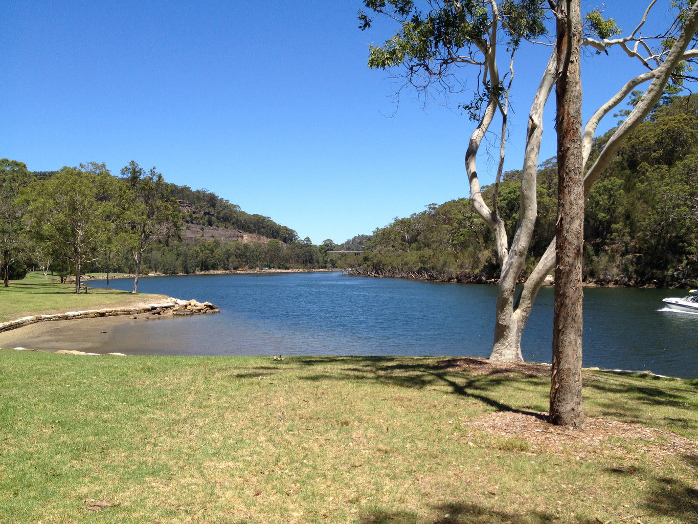
Carroll Creek and Middle Harbour Creek
Distance: 9.69 km ( 6.02 miles ) Duration: 3 hours. Last Updated: 17 Nov 2024A first-rate paddle added by Vaidotas Ballard it's in Forestville, New South Wales, Australia.
FREE to Download
Of course it all depends on the tide and the wind. Aim to reach the furthest point at high tide and always have the wind on your back ;-} This is a very pleasant kayak route lots of nature to look at along the way.
Add your own opinion!
Where in the world is this Tour?
Tour Highlights

The end of Carroll Creek.
Shame it goes no further than here.
Shame it goes no further than here.
Distance from previous hotspot: 0.26 km ( 0.16 miles )

End of Middle Harbour Creek
Looks like it might go a little further, but you’d have to haul your kayak over these rocks. These rocks are actually the stepping stones for the Govenor Phillip Track.
Looks like it might go a little further, but you’d have to haul your kayak over these rocks. These rocks are actually the stepping stones for the Govenor Phillip Track.
Distance from previous hotspot: 0.98 km ( 0.61 miles )

Back at Davidson Park
Great place for a picnic or to launch your kayak.
Great place for a picnic or to launch your kayak.
Distance from previous hotspot: 4.12 km ( 2.56 miles )
All text and images © www.MyGuidedTours.com


